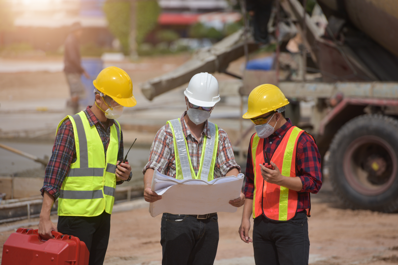
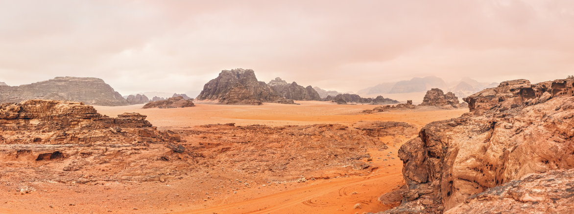
We use geological and hydrogeological maps in conjunction with highly specialised equipment to plot the hydrologic and geologic features of the ground on your property. This allows us to accurately detect water and determine the depth as well obstacles that can prevent efficient water extraction.
Detect, measure, improve. we make sure you have water before we drill!
Borehole water surveys are critical. Without a comprehensive borehole water survey, drilling for water is like playing the Lotto; chances are it is going to cost you allot more than you think, and you might not actually find water.
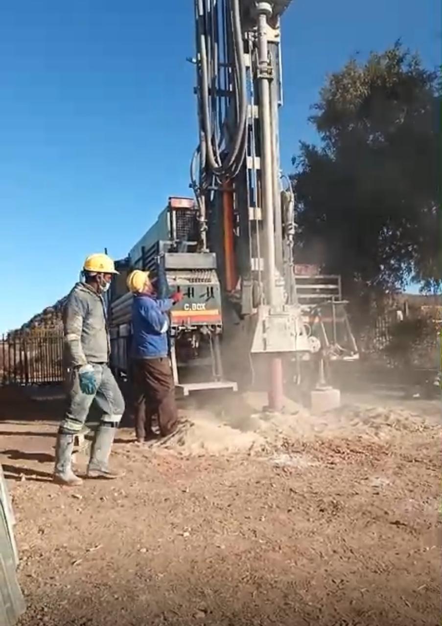
How does the borehole water survey process work?
Using the latest auto analysis geophysical prospecting instrument technology as well as geological and hydrogeological maps, we can determine with an incredibly high degree of accuracy if there is water to be found on your property. Our instruments have been specifically built to scan the underground hydrologic and geologic features of the earth and are extremely accurate.
They use data from magnetic irregularities found in underground water as well as the earths electromagnetic field to determine if subterranean water is present.
The Instruments do more than just find water, they provide us with accurate additional information of each water fracture’s depth and can show veins during the survey It also shows formation types such as mud, hard rock, river bed and extremely hard rock.
All this info is vital to give you an accurate quote for drilling a borehole that will last for decades to come. Remember the biggest cost by far associated with a borehole is drilling the borehole, not the borehole water survey. It is best to know if you have water before you drill. Detect, Measure, Improve.
What happens when we are done with the borehole water survey?
Once we have conducted the water survey and analysed the data, we will be able to tell you if there is water to be found on your property. If there is water, we can proceed with mapping your property. With the mapping process we determine:
- The best borehole drilling point which will provide the highest yield
- The best access point to your property which will have the least impact on you and your neighbours
- The correct drilling method/rig to keep the costs as low as possible. The deeper we need to go, the bigger the drilling rig, the higher the costs are. It is important to note that large drilling rigs can weigh up to 15 tonnes. It is therefore essential that the correct determination is made regarding the size and depth of the borehole before quoting you or drilling begins.